Technical Specifications
Live Tracking
Most time stopped at Arkhangels'k: 4 h across 2 stays.
Derived from the AIS track: runs of near-zero speed (anchored, moored or drifting) snapped to the nearest port. Builds up as we observe the vessel.
Intelligence
AIS-derived from our live feed.
Compliance
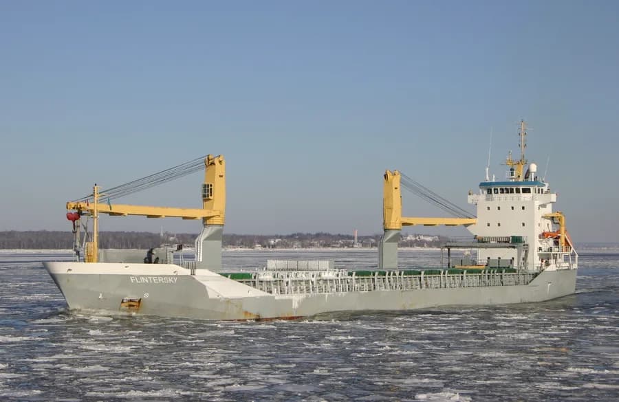
On 16 September 2013, M/V "FLINTERSKY" reported being disabled south of Placentia Bay pilot station, NL, due to a engine failure. Vessel was able to regain power and get underway under its own power. No injuries, pollution or damage reported.
Recorded marine occurrences naming this vessel.
Operational Status
Stopped, anchored or moored on its latest broadcast: parked, not necessarily withdrawn.
Read from the single most-recent AIS broadcast we hold for this hull. We keep no position history, so this is a point-in-time posture, not a dwell inference. Derived in-house from our own AIS feed; weight it by the broadcast age above.
Composite Risk
Strong, corroborated adverse evidence: a detention, sanctions exposure or an AIS-gap / behavioural signal.
A coverage-weighted blend of the 3 components we could read for this hull; the weights renormalise over only the components present, so a thin read is never inflated and a hull is never credited a “safe 0” for a signal it has no row for. Higher means riskier. Derived in-house from government-open port-State-control, flag, sanctions and our own vessel data; weight it by the coverage above.
This vessel is directly sanctioned.
Screened against official OFAC, EU, UN and UK designations (In-house derivation over the OpenSanctions publishable subset, GLEIF LEI (CC0) and our own vessel/owner master. No new external source fetched.). An automated exposure signal for review, not a legal determination.
Estimated
Other · summer draught 7.2 m · 19 t per cm immersion
Estimate only: modelled from deadweight (hull geometry) using a first-principles hydrostatic model, not measured hydrostatic tables. The design draught it is anchored to is unreliable across the fleet.
Commercial
Price it in the Route Planner between any two commercial ports: ballast and laden legs, two fuels at live bunker prices, port and canal costs, the weather on the way, and the TCE set against the market.
Typical General cargo speed and burn. Replace them with the ship's own figures in the planner.

Visual Archive
Explore More