- MMSI
- 512001106
- Call Sign
- ZMV7877
Technical Specifications
Key Figures
Live Tracking
Current Position
Resolved from the live AIS destination. Distance is the real sea route (around land and through canals); the computed ETA is at the vessel’s passage speed. A destination is the crew’s stated intent, not a confirmed fixture.
Intelligence
Risk & Sustainability
Operational Status
Activity
Making way at sea speed on its latest broadcast.
Read from the single most-recent AIS broadcast we hold for this hull — we keep no position history, so this is a point-in-time posture, not a dwell inference. Derived in-house from our own AIS feed; weight it by the broadcast age above.
Port calls
3 recent · AIS-detectedArrivals, time in port and the load/discharge inferred from the draught change — detected from AIS track history. An open call means the vessel is still in port (no departure observed yet).
- no cargo change→ · 10 h in port· draught 1.2→1.2 m· low confidence
- no cargo change→ · 22 h in port· draught 1.2→1.2 m· low confidence
- op. unknown→ · 10 h in port· low confidence
Method: each call is a run of fixes inside a port’s geofence confirmed by a stop (or an AIS gap); load/discharge is the sign of the draught delta over the call. Indicative — arrivals before our AIS history began read from the first observation.
Where it waits
1 port · 42 h totalTime-in-port summed by port from the AIS-detected port-call history — the ports this vessel has spent the most time at, longest first.
- Devonport· New Zealand42 h3 calls · 14 h avg
Based on 3 completed calls observed since — open calls (no departure yet) are excluded. The distribution sharpens as AIS history accrues.
Composite Risk
Risk Score
Multiple adverse factors, or a hard ship-specific signal, lift this hull above the fleet norm.
A coverage-weighted blend of the 2 components we could read for this hull — the weights renormalise over only the components present, so a thin read is never inflated and a hull is never credited a “safe 0” for a signal it has no row for. This headline is flagged low-confidence (a thin or structural-only read) and should not be treated as a verdict. Higher means riskier. Derived in-house from government-open port-State-control, flag, sanctions and our own vessel data; weight it by the coverage above.
Commercial
Voyage Estimate
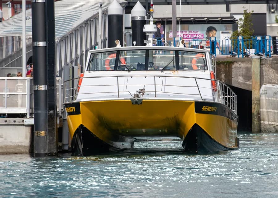
Visual Archive
Gallery
Explore More
Similar Vessels
Community
Vessel Comments