The Maritime
Sign inRequest access
The intelligence layer of global shipping

The command bridge of global shipping.

Every vessel, port, chokepoint and risk in the world’s fleet — fused into one live surface and handed to the desk that has to decide. Nereus is the map inside a Maritime membership.

Enter the bridgeRequest access
73,000+
vessels on the surface
3,700
coastal ports
14
chokepoints
190+
flag states
Minute
AIS cadence
These are what the surface holds — not a brochure.
The surface

One map. The entire ocean, decided from.

Fleet, ports, chokepoints, dark tonnage and casualty risk — every layer on a single dark surface. Click any hull, any coast, and the picture opens.
themaritime.net / nereusLIVE
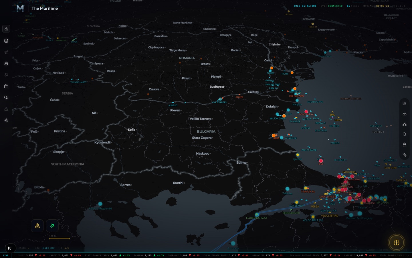
The Nereus command map — the live fleet, ports and ship-to-ship activity of the Bosphorus approaches and the Black Sea.
The Bosphorus approaches — real hulls, real ports, live.
themaritime.net / nereusLIVE
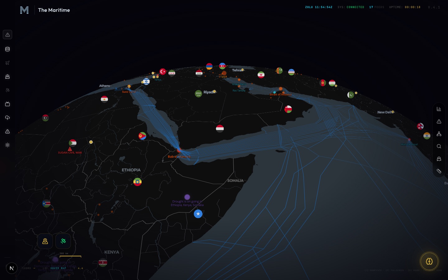
The Nereus command map — the Red Sea and Gulf of Aden, the shipping lanes through Bab el-Mandeb and the Strait of Hormuz, and the security posture on each chokepoint.
Bab el-Mandeb to Hormuz — the chokepoints your cargo passes, live transit and the security posture on each.
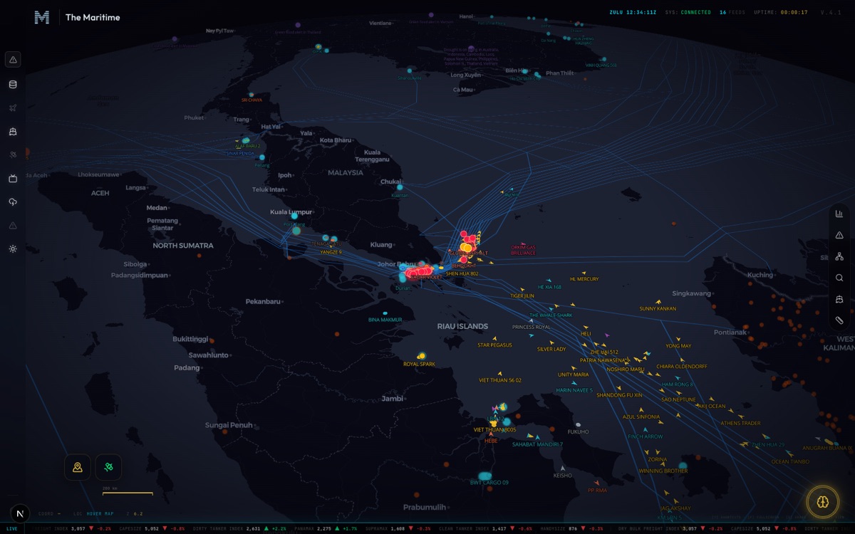
The Nereus command map — malacca strait
MALACCA STRAITthe world’s busiest passage
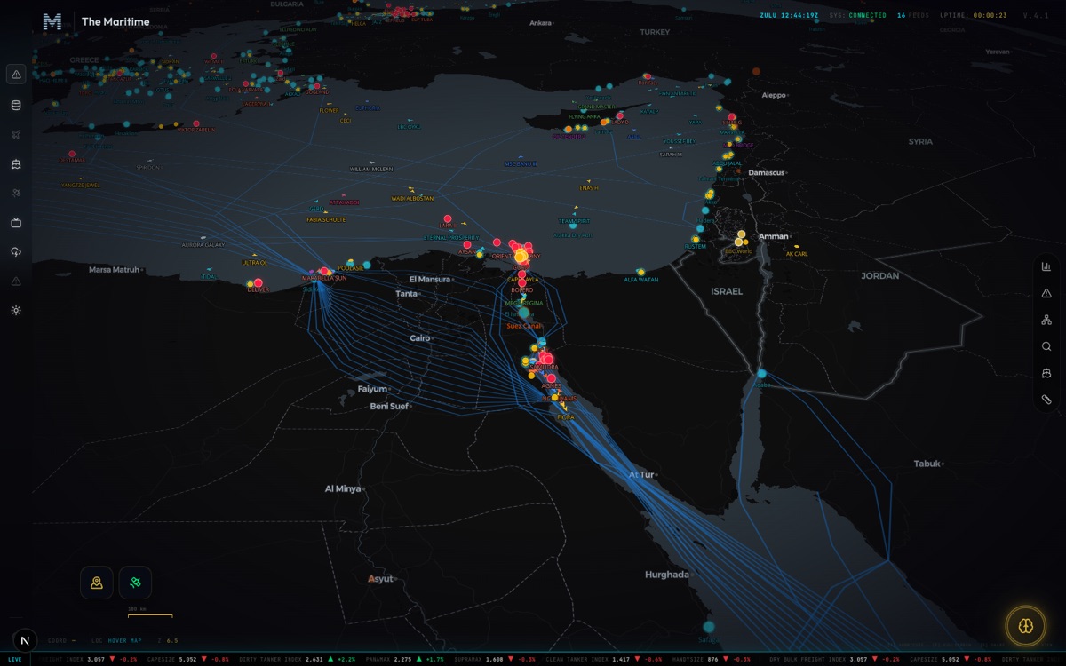
The Nereus command map — suez canal
SUEZ CANALthe thread all cargo passes
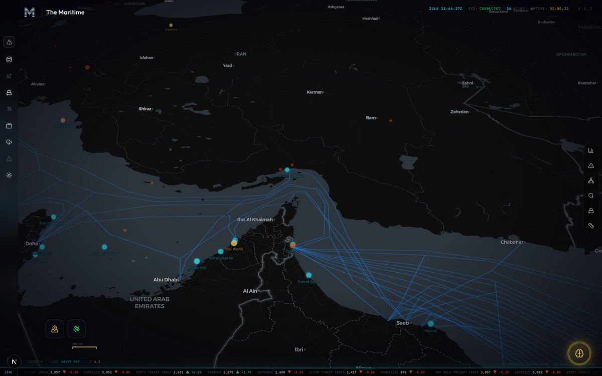
The Nereus command map — strait of hormuz
STRAIT OF HORMUZthe world’s oil artery
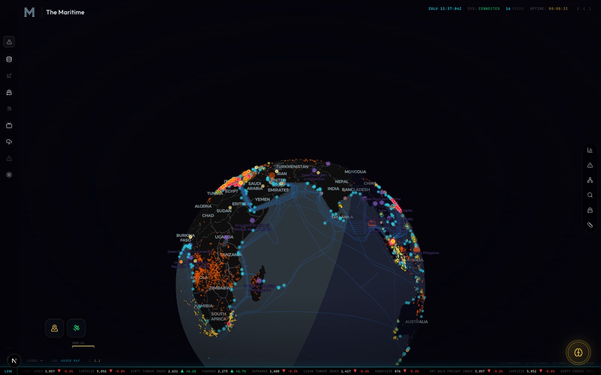
The Nereus command map — the open ocean
THE OPEN OCEANthe whole fleet, one globe
Real frames, one login apart. Members command the full surface — every ocean, every hull, live.
What it commands

Every layer of the picture, on one login.

The fleet
  • ·Live AIS fleet, matched to the registry
  • ·Vessel dossiers — ownership, class, history
  • ·Track replay, hull by hull
  • ·Watchlist, with went-dark and cargo alerts
  • ·Open tonnage — who just came free
The shore
  • ·Every coastal port, one surface
  • ·Congestion, queues and dwell
  • ·Port calls — loads and discharges as they land
  • ·Country situation cards
  • ·Expected arrivals
The risk
  • ·Dark fleet and sanctioned hulls
  • ·Port-state-control detentions
  • ·Marine casualties
  • ·Ship-to-ship transfers
  • ·War-risk exposure
The market
  • ·Multi-model vessel valuations
  • ·Freight and price forecasts
  • ·Trade-lane flows
  • ·Chokepoint throughput
  • ·Newbuild and demolition
The desk
  • ·A grounded analyst — answers, not guesses
  • ·Computed replies with sources shown
  • ·Voyage and war-risk tools
  • ·Country and owner intelligence
Each of these is sold, somewhere, as a product of its own. One login draws the map over all of them.
The situation room

Hover a coast. Read its war-room in a breath.

Hulls in port now, the loads and discharges as they land, the congestion on the coast — and the risk moving underneath. Both panels below are live.

COUNTRY SITUATION CARD · LIVE
SG🇸🇬 SG
QUIET
0
in port now
0
arrivals · 7d
CLEAR
congestion
flag fleet 0 liveports 0/0 working
LIVE PORT CALLS
Acquiring…
RISK STREAM · LIVE
MARITIME COMMAND FEEDREDACTED // LIVE
Acquiring feed…
We never blur what’s known from what isn’t. Identities on the feed are redacted until you are inside.
Who commands it

The desks where the industry is decided.

Owners & operators

Your fleet on the water in real time, and the ports it is steaming into read from the traffic before you call the agent.

You see the queue before the queue sees you.

Charterers & brokers

Open tonnage the moment a hull discharges, and the fixture picture around it — position, not paperwork.

The ship comes free on your screen, not in your inbox.

Traders & bunker buyers

Chokepoint flow, congestion and dark-fleet movement — the supply signals under the price, on one surface.

You read the water the market is still pricing.

Analysts & researchers

Every layer backed by evidence and dated, with the uncertainty named — a picture you can put your name to.

Your chart holds up in the room.

Insurers & financiers

Sanctioned hulls, detentions, casualties and STS candidates — the exposure in a portfolio, drawn over a dimmed world.

The risk is on the map before it is on the claim.

Why it holds

We never blur what’s known from what isn’t.

Provenance

Every mark on the surface is drawn from evidence, and dated. Nothing is decoration.

Honesty

When the data is thin, the surface says so. An inferred position is never dressed as a fix.

Boundaries

We do not discuss our sources or our methods. The verdict is the product; the plumbing stays ours.

Coverage is the only testimonial we publish.
Before you enter

The terms, plainly.

Is Nereus a separate subscription?

No. Nereus is the map inside a Maritime membership — one login, the same seat.

Is the picture live?

The fleet moves on AIS, minute by minute. Ports, congestion and risk refresh on their own cadence, each dated on the surface.

Where does the data come from?

We do not discuss sources or methods. We publish coverage, and we stand behind the verdict.

Who is it for?

The desks that carry the position — owners, charterers, brokers, traders, analysts, insurers. Not everyone.

This was not built for everyone. It was built for the desks where the industry is decided.

Request accessSign in